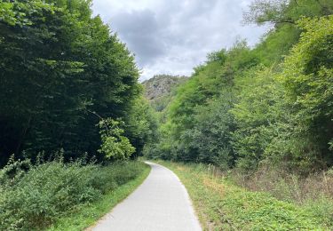
17.1 km | 23 km-effort
vélo thury
Nicolas BRIAND
User
Length
11.9 km
Max alt
54 m
Uphill gradient
117 m
Km-Effort
13.5 km
Min alt
23 m
Downhill gradient
117 m
Boucle
Yes
Creation date :
2023-08-16 13:58:17.52
Updated on :
2023-08-16 15:06:12.255
1h07
Difficulty : Easy
FREE GPS app for hiking
About
Trail Bicycle tourism of 11.9 km to be discovered at Normandy, Calvados, Le Hom. This trail is proposed by Nicolas BRIAND.
Positioning
Country:
France
Region :
Normandy
Department/Province :
Calvados
Municipality :
Le Hom
Location:
Thury-Harcourt
Start:(Dec)
Start:(UTM)
684210 ; 5429377 (30U) N.
Comments
Trails nearby
Le Mouin du Fay
On foot
Easy
Culey-le-Patry,
Normandy,
Calvados,
France
4.8 km | 6.7 km-effort
1h 31min
No
D'Espins au Moulin du traspy
On foot
Easy
Espins,
Normandy,
Calvados,
France
6.9 km | 9 km-effort
2h 3min
Yes
La Chapelle Bonne Nouvelle
On foot
Easy
Esson,
Normandy,
Calvados,
France
9.5 km | 13.3 km-effort
3h 1min
Yes
GRP Tour de la Suisse Normande
On foot
Difficult
Esson,
Normandy,
Calvados,
France
25 km | 35 km-effort
7h 58min
No
le pont Hom (boucle)
Walking
Medium
(1)
Le Hom,
Normandy,
Calvados,
France
12.1 km | 16 km-effort
2h 45min
Yes
ouffi
Walking
Difficult
(1)
Ouffières,
Normandy,
Calvados,
France
10 km | 12.7 km-effort
2h 34min
Yes
Voie verte suisse normande
Road bike
Easy
Montillières-sur-Orne,
Normandy,
Calvados,
France
47 km | 53 km-effort
4h 14min
Yes
Moulin de Pray et Pont de Brie
On foot
Easy
Grimbosq,
Normandy,
Calvados,
France
4.3 km | 4.9 km-effort
1h 6min
No